Are you paying more than you should for emissions?
Freight averages are costing you: inflated EU ETS surcharges, weaker footing in carrier negotiations, and sustainability reports that won't survive an audit. Searoutes gives procurement, finance, and freight teams shipment-level emissions and their real cost.
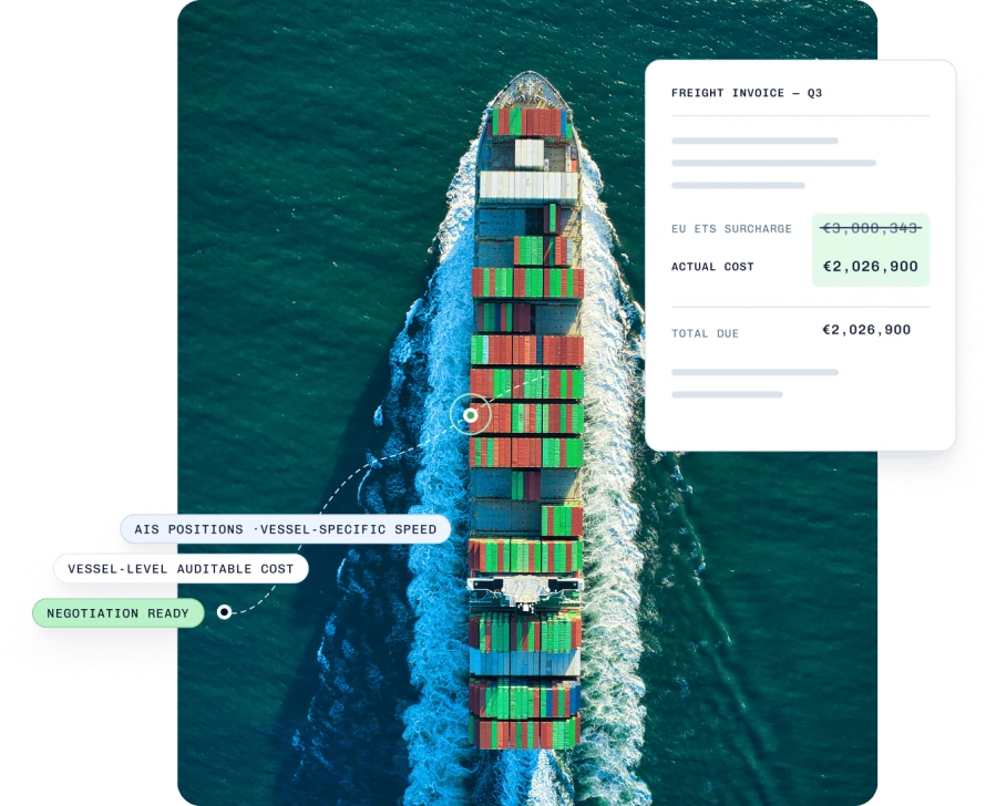
Built for every player in the supply chain
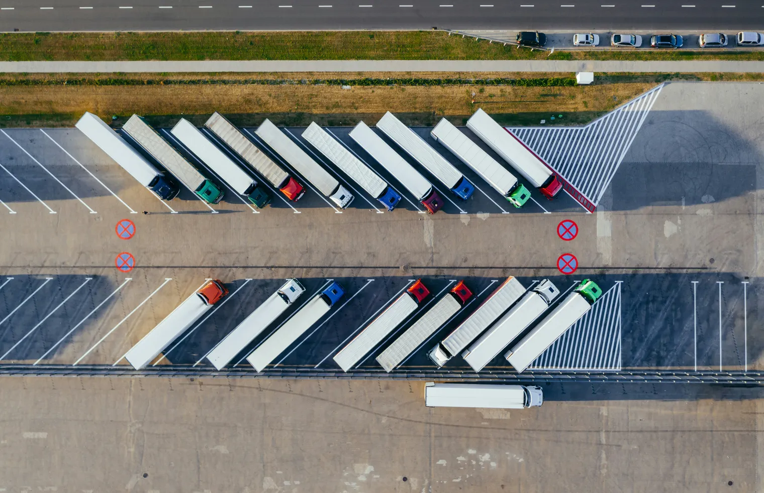
Whether you need audit-ready calculations for compliance or want to reduce your footprint through optimization, Searoutes gives shippers and cargo owners the emissions data to act on.
Three products. Your way.
Map real emissions by lane, carrier, and mode. See where EU ETS exposure is highest, which routes can be optimized, and what your numbers will look like when an auditor asks.
Precise ocean distances and emission profiles for any route, not averages. Fleet managers cut planning time by up to 40% and reduce fuel consumption by 10–25%.
AIS vessel positions from satellite and terrestrial sources: clean, deduplicated, ready to integrate. Know where vessels are. Know when the data is wrong.
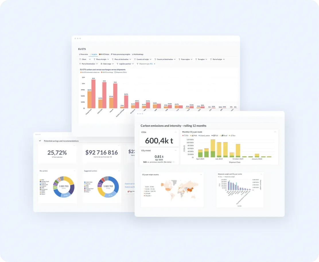
Integrate the data. Or just use it in our platform.
Ocean routing and vessel tracking through our APIs, freight emissions through APIs and a no-code platform of dashboards, certificates and EU ETS tools.
Different endpoints, structured data
Dashboards & tools
What accurate data changes




See what your freight actually emits.
We'll map your real emissions across your lanes and modes before you commit to anything.
Book a data review