Ocean routing
Smarter routes. Smarter decisions.
Get the most accurate ocean route details and distances to optimize operations, better predict arrival times, monitor fuel consumption, estimate freight emissions, and compute deviation costs.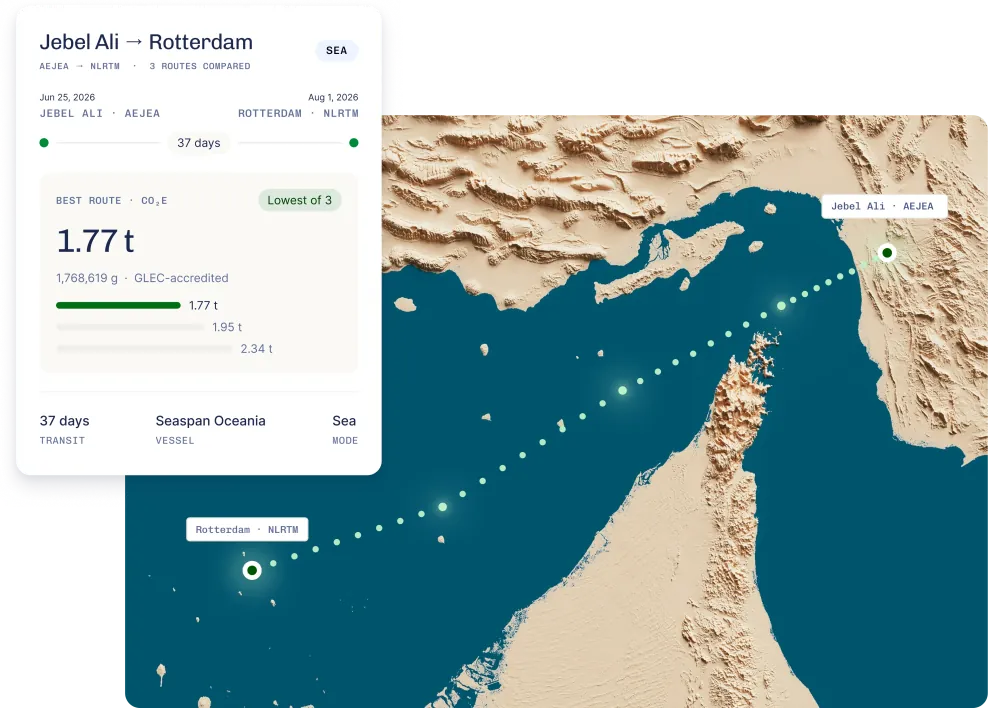
Trusted by leading freight forwarders, carriers and cargo owners
Routing data that works across your entire workflow.
Calculate with confidenceReal, navigable ocean distances per vessel type, service, or carrier. SECA zones, canal transits, piracy areas, and port entries, all accounted for.
Build faster, integrate onceOne API for reference routes, historical routes, and distance data. Reuse the same route geometry across analytics, reporting, and map visualisation.
Route for every use caseWhether you're benchmarking carriers, estimating transit times, calculating fuel costs, or reporting emissions — get routing precision matched to the task.
The benefits
Why Searoutes for ocean routing
Accuracy you can trust
GLEC & ISO 14083-certified. Including more specific calculations like EU ETS.
Scope 3 transparency. Shipment-level emissions details, with full visibility into routes, modes and assets.
Actionable emissions data
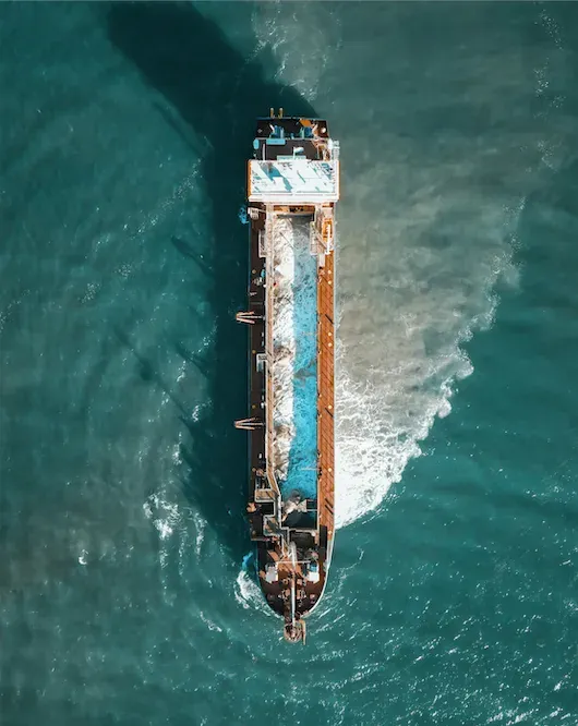
Sustainability without compromise. Cut emissions by 15–30%—without sacrificing cost or performance.
Unified freight emissions intelligence. Standardized, algorithm-driven reporting across carriers for unmatched accuracy.
AIS-powered insights. Emissions based on actual traveled routes for targeted action.
THE API
From response to result
Shanghai → Le HavreService 1961 · CNSHA → FRLEH
SEA
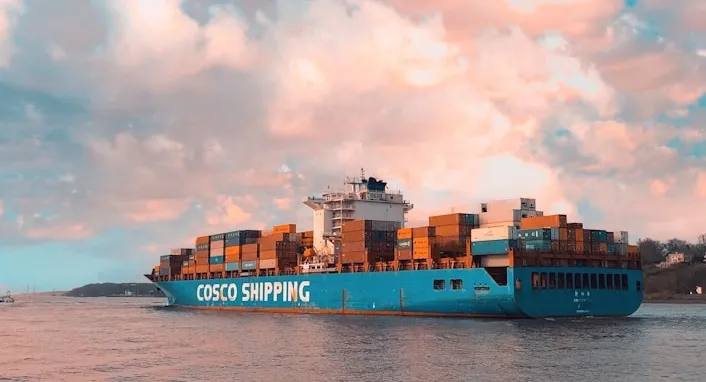
CNSHADeparture · Shanghai
FRLEHArrival · Le Havre
CNNGB · CNYTN · SGSIN
37 daysTransit time
25,759 kmDistance
1,496 tCO₂e
5 port calls
Transhipment
Testimonials
Our customers’ perspective
We needed reliable route proposals for our We4Sea dashboard about five years ago, and Searoutes delivered at a competitive price. Searoutes gives us the ability to establish reference routes that we use in our speed advisor product and use to compare against actual vessel routes for data analysis. I highly recommend them for reliable ocean routing solutions that integrate seamlessly.
Jelmer de WeerdCEO
Searoutes data has been a game-changer for ClearVoyage. The API is well documented and easy to integrate, making onboarding seamless. What really sets Searoutes apart is their superior performance – the API consistently outperforms competitors in speed and handles high volumes of requests effortlessly.
Alexander DongerCEO & Founder
FAQs
Your questions answered

Book a demo